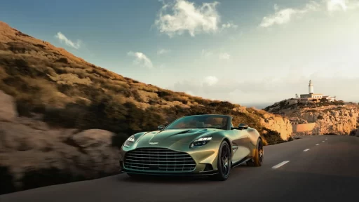

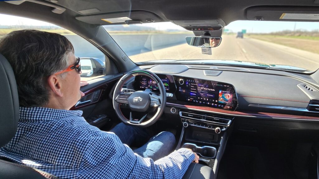
General Motors continues pushing boundaries with innovations like Super Cruise, the brand’s award-winning hands-free driving technology.
Powered by a blend of high-definition maps and real-time sensor data, Super Cruise allows drivers to navigate compatible roads with ease — and one of the key people behind this tech is David Craig, a longtime map expert on GM’s ADAS (Advanced Driver Assistance Systems) team.
Craig, who joined GM in 2016, has spent decades working with GPS and mapping technology. Today, he leads a 90-person team responsible for delivering the precise HD maps that make Super Cruise possible.
READ MORE: FIAT Professional Unveils Sporty New Scudo and E-Scudo S-Design with Dynamic Styling
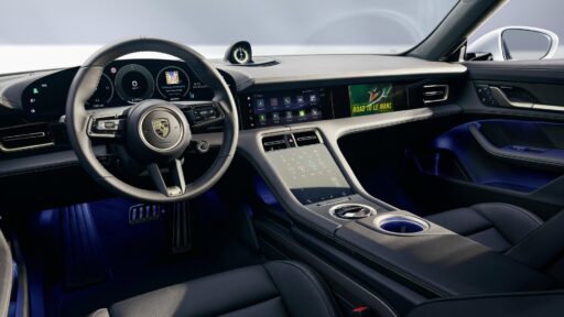
These maps are crucial for a safe, seamless experience across different GM vehicles, whether it’s a Cadillac, Chevrolet, GMC or Buick.
The process begins with LiDAR scans from mapping partner Dynamic Map Platform, which creates detailed 3D road models.
GM then converts this data into a vehicle-friendly format, factoring in road curvature and other key elements, before filtering out unsuitable routes.
These refined maps are sent to vehicles over the air, ensuring Super Cruise systems are constantly updated and accurate.
Craig’s team also worked with the U.S. Department of Transportation to establish a universal standard for roadwork descriptions, now used by over half of U.S. state DOTs, helping to ensure consistency in Super Cruise operations.
Since launching in 2017, Super Cruise has expanded dramatically and will soon cover around 750,000 miles of road in the U.S. and Canada.
With more than 20 GM models set to offer Super Cruise by the end of 2025, Craig’s love for solving complex problems continues to shape the future of hands-free driving — and bring real-world benefits to everyday drivers.
READ MORE: Alfa Romeo Wins Prestigious Motor Klassik Award for Automotive Heritage and Design Excellence
Subscribe today for the freshest car news delivered to your inbox